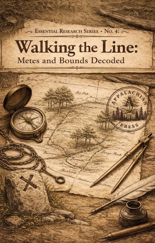
Click to enlarge
Essential Research Series · No. 4 · 33 pages
Appalachian land records don't use township grids. They use the ground itself: the creek bank, the blazed white oak, the neighbor's line. Walking the Line decodes the metes and bounds system from the ground up, explaining every term, unit of measurement, and compass bearing you will encounter in an Appalachian deed. It covers the perishable marker problem, how to plat a deed on paper, how to use adjoining landowner names to identify kinship and migration patterns, and where to find land records state by state across the Appalachian region.
- Terminology and Units — every measurement term, bearing, and directional convention explained
- The Perishable Marker Problem — understanding vanished landmarks and how to work around them
- Platting a Deed — step-by-step method for drawing your ancestor's land on paper
- Adjoiner Analysis — using neighboring landowner names to trace kinship and migration
- State-by-state repository guide for land records across the Appalachian region
Paid Subscribers Only
Get Your Copy